Monroe County, Indiana – Monroe County could see a quiet start to the weekend turn unsettled by Sunday, as forecasters warn that several rounds of storms may move across central and south-central Indiana from Sunday afternoon into early Monday morning.
Saturday’s weather is expected to stay mostly manageable, with only isolated showers or sprinkles possible and highs near the upper 70s to lower 80s. In Bloomington, the National Weather Service forecast calls for partly sunny skies and a high near 81 before the larger weather system arrives Sunday.
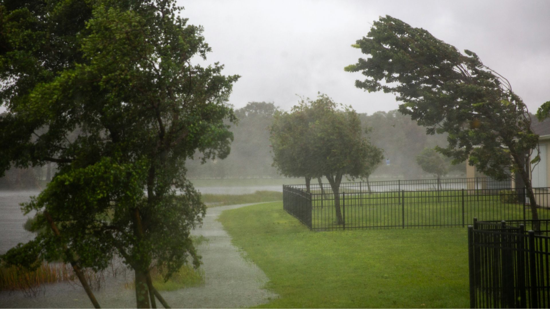
The bigger concern begins Sunday afternoon. Storm chances are expected to increase after 2 p.m., with scattered showers and thunderstorms developing first, then more widespread rain and storms possible later in the day. By Sunday night, showers and thunderstorms are expected to become likely, and some storms could produce heavy rainfall.
Read also: Indiana contractor accused of using $188,000 construction loan money for personal expenses
Severe weather is also possible Sunday afternoon and Sunday night. The main threats are damaging winds and isolated tornadoes, with the highest tornado concern focused across southwest central Indiana. Even outside the strongest storms, repeated rounds of rain could create problems on roads, near creeks, and in low-lying areas.
A Flood Watch has been issued for much of central Indiana from Sunday afternoon through Monday morning, including Monroe County and Bloomington. The watch covers areas mainly along and southwest of a Lafayette-to-Rushville line, where forecasters say 1 to 3 inches of rain are expected, with locally higher totals possible.
The National Weather Service said excessive runoff could lead to flooding of rivers, creeks, streams and other flood-prone locations. Residents in areas that commonly flood are being urged to monitor later forecasts and be ready to act if warnings are issued.
Drivers should be especially careful late Sunday and overnight into Monday, when flooded roads can be harder to see. The National Weather Service reminds the public: “Turn around, don’t drown when encountering flooded roads. Most flood deaths occur in vehicles.”
For Monroe County, the message is simple: Sunday may not bring just one storm, but several waves of rain and thunder. Conditions could change quickly, so residents should keep phones charged, have weather alerts enabled, and follow updated forecasts from the National Weather Service in Indianapolis.


